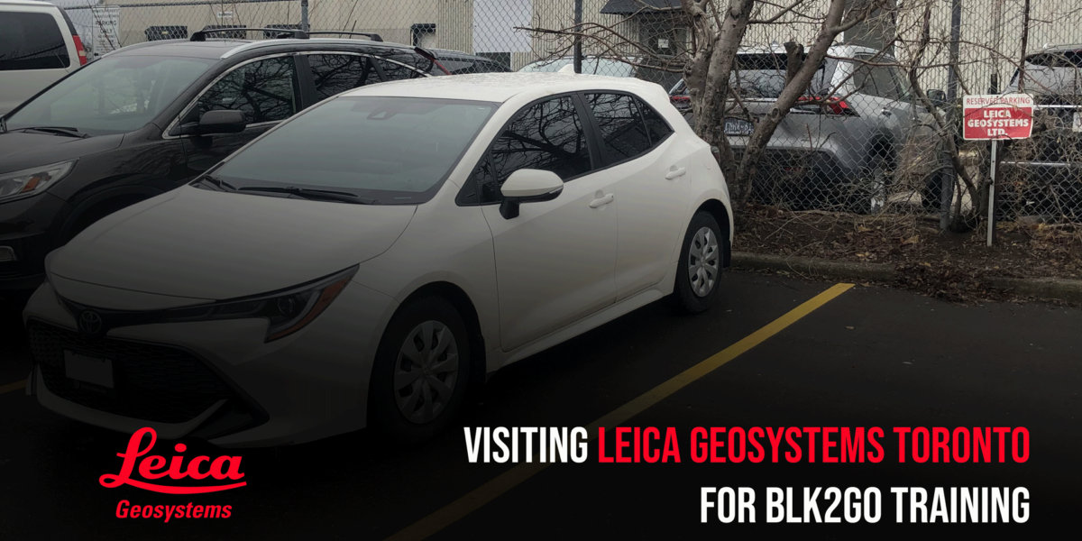
Visiting Leica Geosystems Toronto
As a 3D laser scan service provider, we aim to provide the best and most practical 3D laser scanning solution. That’s why we visited Leica Geosystems in Toronto to learn about Leica Geosystems’ new device, the BLK2GO. We were able to pair this opportunity with some Matterport capture work in Toronto and stay the weekend. At Leica, we met with our favorite Leica Geosystems rep Tony Juteau and meet 3D enthusiasts, colleagues of all industries who also came to learn about the new laser scanner.
The Leica BLK2GO is a handheld mobile scanner that uses both visual SLAM and lidar SLAM, capturing 420,000 points per second using one of the world’s smallest dual-axis lidar. Using small but powerful panoramic cameras and a 12-megapixel detail camera, the point cloud files include RGB values and high-contrast imagery. The device expedites mobile survey capabilities, allowing spaces where time is sensitive and mobility is required.
During this training session with a not-yet-available Leica Geosystems Cyclone, we and other vendors were brought up to speed with the new import and registration functions of the program for the new device. This included new ways to clean the point cloud. As mobile laser scanning is fluid, it is more prone to the movement of people and objects in the scan. New tools in Leica Geosystems Cyclone Register360 allow for cleaning and filtering of the measurement references.
Using the device in the following demo confirmed that while a revolutionary device, it did not replace the Leica BLK360 in most environments. The resulting data is noisier and slightly less accurate than our terrestrial laser scanners so asbuilt modeling capabilities are limited. Of course, there is a right device for every job which we later had that warranted the mobile laser scanner.

We later used the Leica BLK2GO for a set of buildings that required expedited mobile laser scanning. The six complexes were comprised of 112 three-bedroom units that were tenantant just at the heights of the coronavirus COVID-19 virus. The scanning exercise could not be performed with a terrestrial laser scanner as the time spent in each unit needed to be limited. The resulting point clouds were registered and used to create Revit models of each building’s as-found conditions. The scanning accuracy of the laser scanner was 10mm-20mm and allowed for modeling accuracy of up to LOD300.
We also used the mobile laser scanner to capture large outdoor heritage sites like the Holocaust Monument in Ottawa.


We are 3D Point Cloud Specialists
3D Laser Scanning offers a major advantage to traditional building survey and site measure processes. If you are interested and looking to learn more about using point clouds in Ottawa, Montreal or Toronto, get in touch with our team to schedule your 3D Laser Scan.