Documentation Archives – Point3D Commercial Imaging Documentation Archives – Point3D Commercial Imaging

Tag: Documentation

Choosing The Right 3D Scanner

Choosing The Right 3D Laser Scanner For Your Building Survey

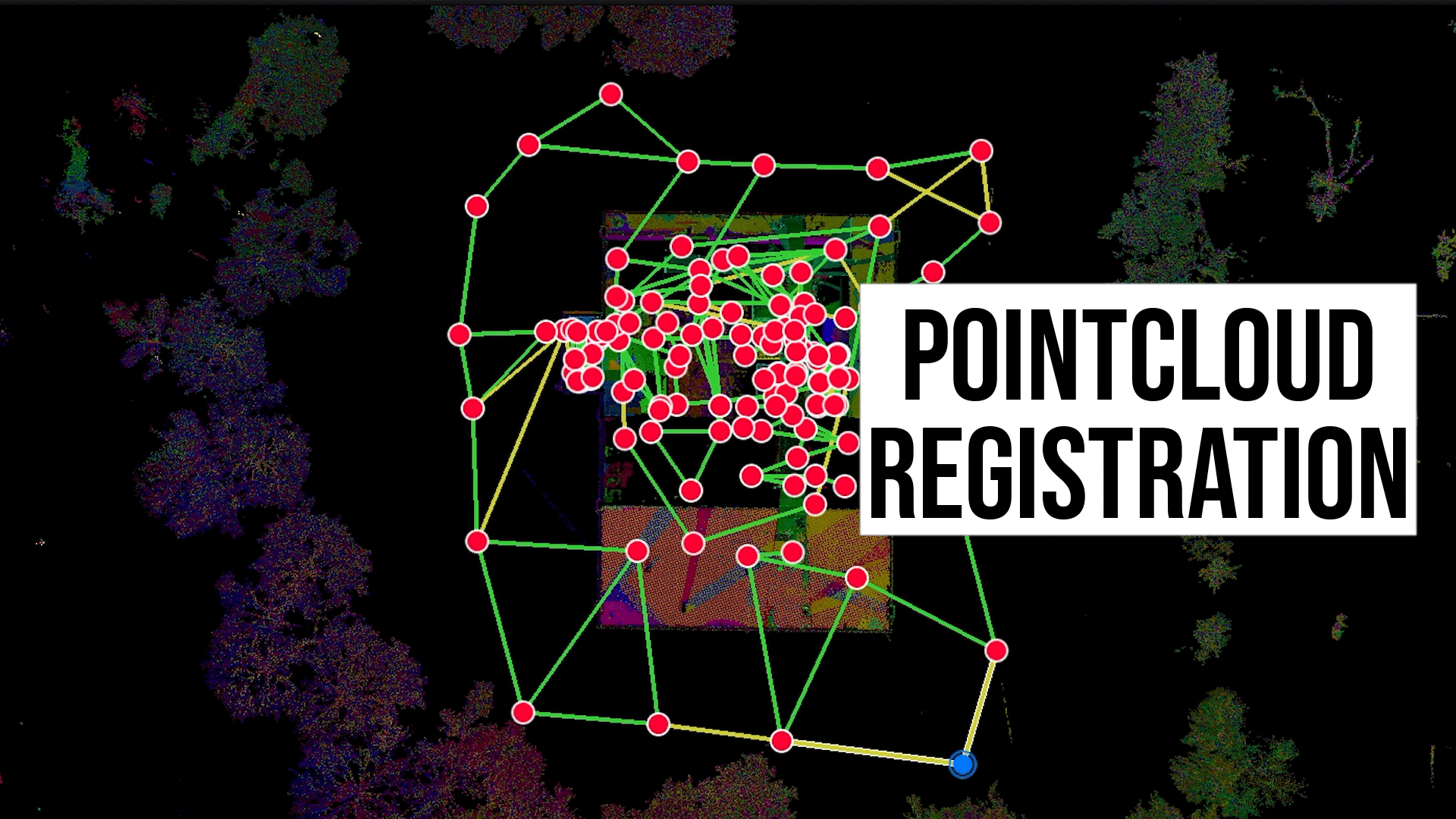
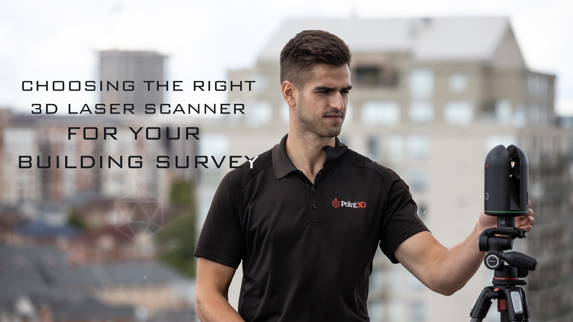
Choosing The Right 3D Laser Scanner For Your Building Survey When it comes to modern geospatial technology, particularly in 3D laser scanning, there are several avenues that can be taken to ensure a building survey succeeds. Options are available depending on what you need to use the 3D laser scan for. Contact us with your criteria such as building size, [...] Read more
Virtual Tours For Virtual Training And Onboarding

HIRE Education: Virtual Tours for Onboarding and Virtual Training

Virtual tours have become an increasingly popular tool for businesses and organizations looking to showcase their spaces and bring them to life. Traditionally used by real estate agents and vacation rental platforms for marketing purposes, the potential applications for virtual tours go beyond simply showcasing spaces. Imagine having a 1:1 interactive 3D model of your space for virtual training and [...] Read more
point cloud Registration

Point Cloud Registration With Cyclone Register360

Scans In, Pointclouds Out In January 2022, Point3D was contracted to document the existing conditions of a commercial office building in Toronto, Ontario using 3D Laser Scanning. The project consisted of nearly 300 scan setups collecting millions of LiDAR measurement references, hundreds of 360-degree images, and infrared sensor data. Each 3D scan was cleaned and registered with multiple links to [...] Read more

We Visited Leica Geosystems Toronto

Visiting Leica Geosystems Toronto As a 3D laser scan service provider, we aim to provide the best and most practical 3D laser scanning solution. That's why we visited Leica Geosystems in Toronto to learn about Leica Geosystems' new device, the BLK2GO. We were able to pair this opportunity with some Matterport capture work in Toronto and stay the weekend. At [...] Read more