3D Laser Scanning
Reality Capture For As-Built Building Conditions
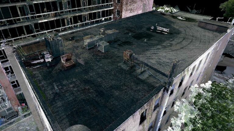
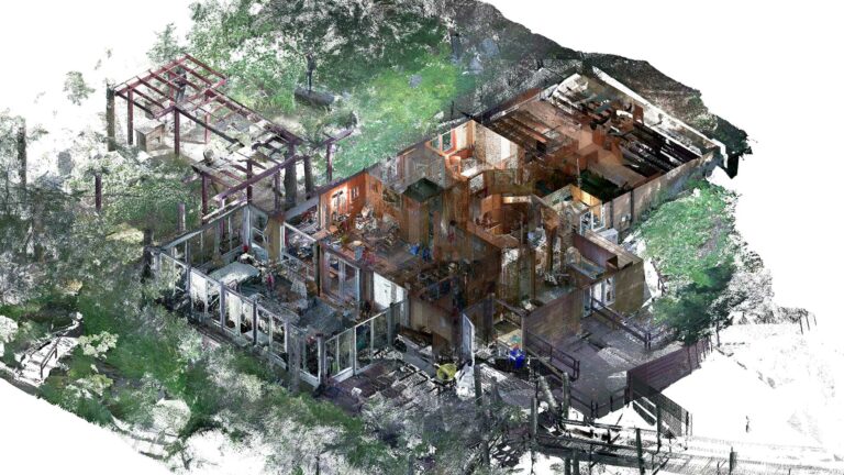
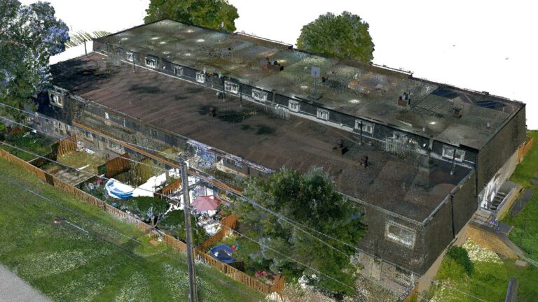
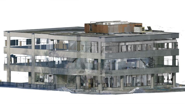
Our 3D laser scanning services allow you to quickly and accurately capture site measurements, verify as-found conditions, and build Building Information Models (BIM). With 3D laser scanning, you can take precise measurements remotely, without the need for multiple site visits. This enables you to have a comprehensive understanding of the project’s as-built conditions and make informed decisions remotely. Additionally, you can view and measure the project from any angle at any stage of the 3D modeling and drafting process using the point cloud data we provide.
3D Laser Scanning Technology
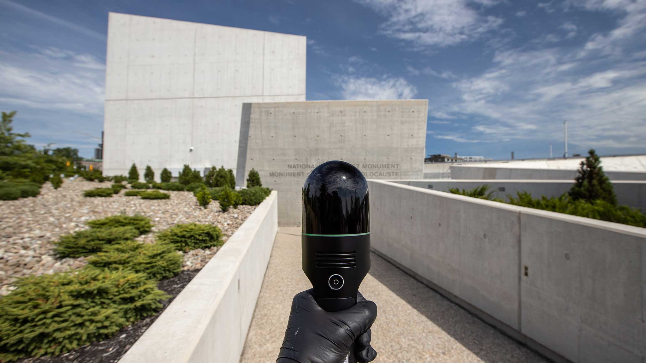
We use the most advanced 3D laser scanners on the market and are always among the first to adopt new tools and methodologies. With this technology, we can digitize large commercial and industrial properties, such as multifamily buildings and warehouses. The pointcloud files we produce contain millions of precise measurements and high-definition 360-degree images, which are often used for visual confirmation. As a leading 3D laser scanning company in Canada, we are committed to staying at the forefront of 3D laser scanning and delivering the best possible results for our clients.
3D Laser Scanning Process
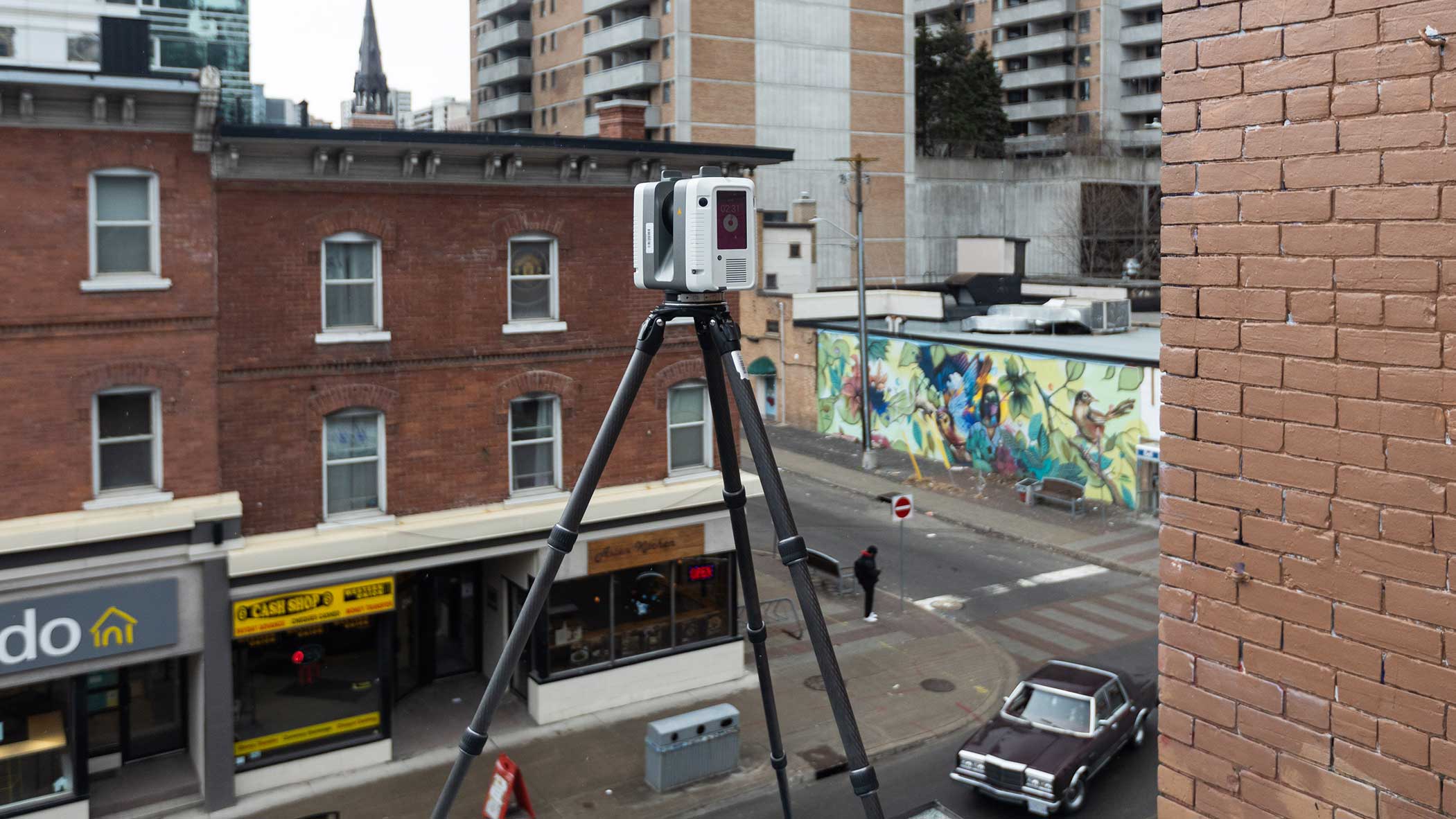
Our team is available to come on-site and provide highly-accurate point cloud files whenever you need them. Coordinating with us is just as easy as scheduling any other site visit. Our goal is to minimize disruption to your operations, so after we discuss your reality capture requirements, we will work with you to determine the best time for the scan. Our 3D laser scanners are fast, efficient, and always produce reliable results. In most cases, we can complete the scanning service within a single day on-site.
3D Laser Scanning Software
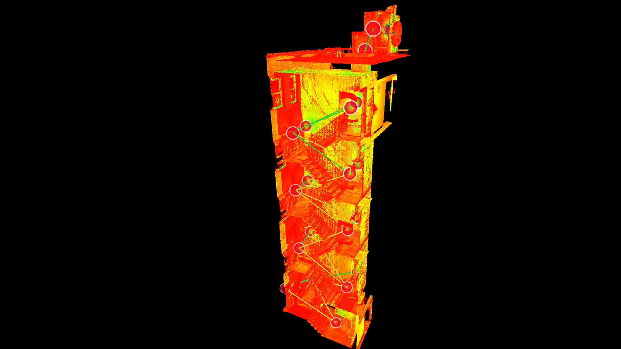
We use Leica Geosystems software to create accurate 3D models. Our primary processing software is Cyclone Register360, which enables us to register 3D scans and produce pointclouds in various formats, including .e57, .rcp, and .ptx. These pointclouds are popular among architects, engineers, and construction professionals for their precision and versatility. Additionally, we offer .lgs pointcloud files for every project, allowing all project stakeholders, even those without Autodesk ReCap, to view and measure their 3D scans.


