Trusted by Google to upload virtual tours to Google Maps for more views of your business.
CAPTURE & DIGITIZE YOUR
Contact Us
If you have any questions regarding our services or would like to discuss a project idea, write to us!
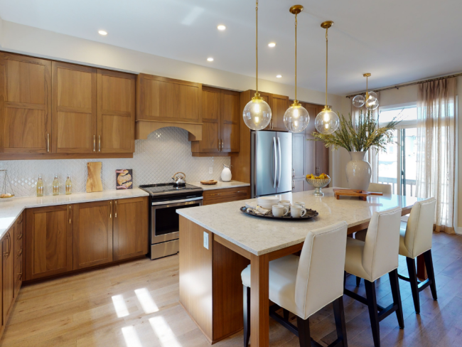
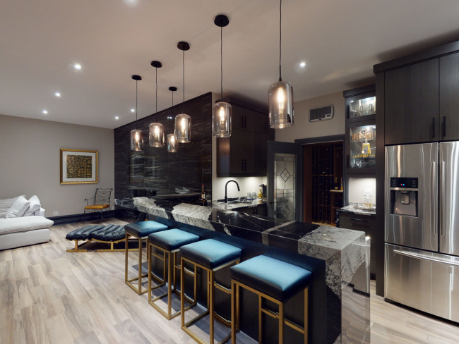
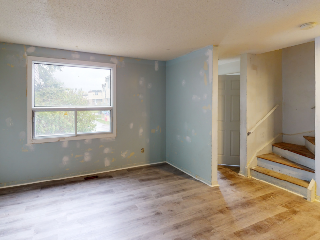
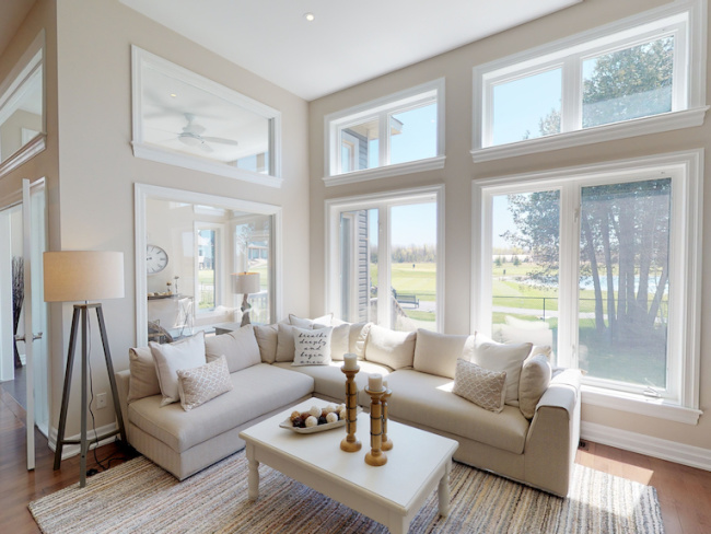
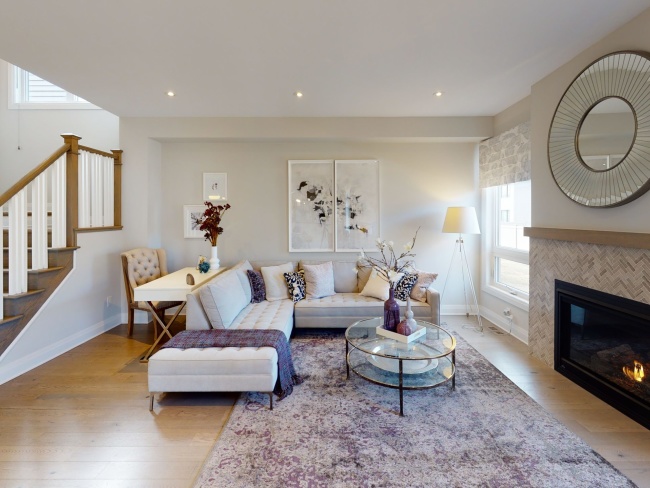
Real Estate
Impress sellers, attract buyers, and boost your entire portfolio by empowering your listings with incredible 3D virtual tours, real estate photography, and floor plans that are MLS-ready with a 24 hour turn around time.
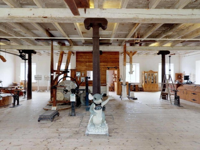
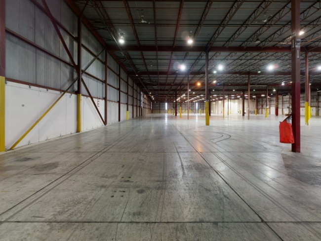
3D laser scanning to create highly accurate point cloud files. Point cloud Scan To BIM for as-built Revit models and as-built AutoCAD plans. Accelerate site measurement and as-built modeling workflows so more projects can be taken on at a time.
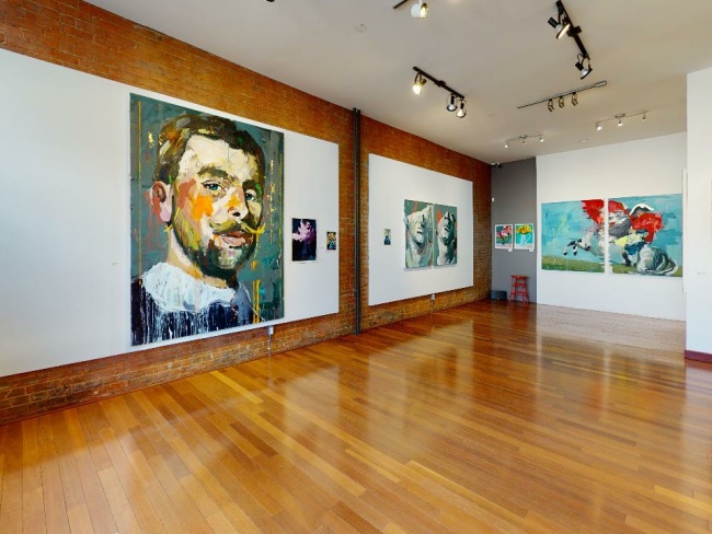
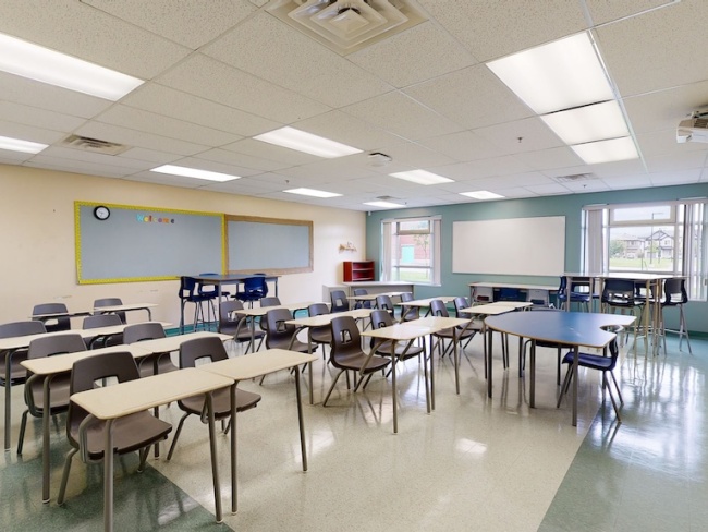
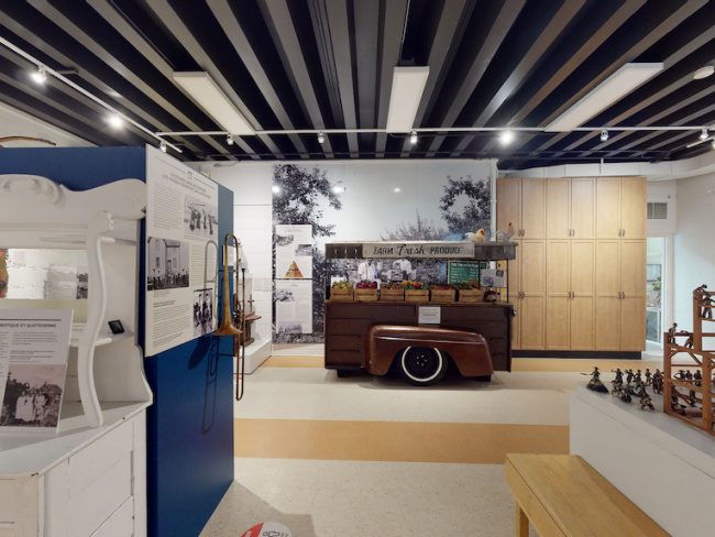
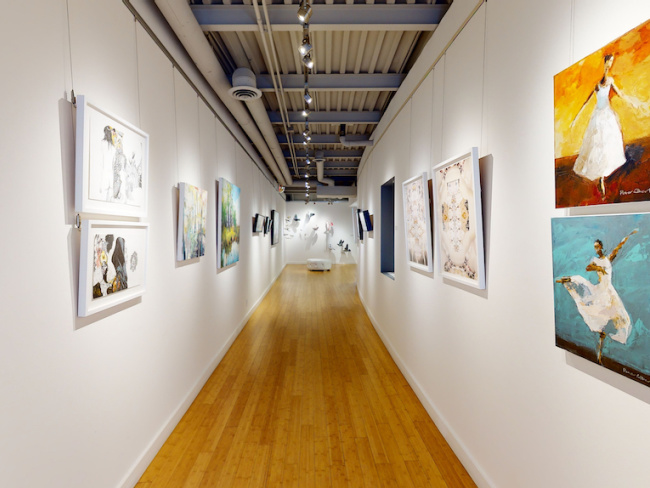
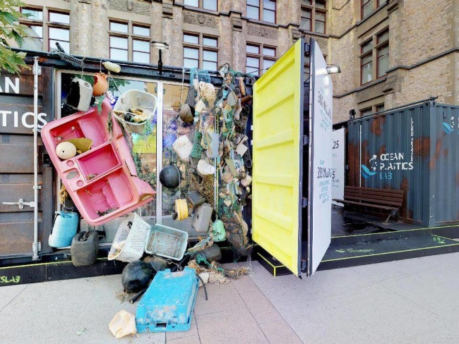
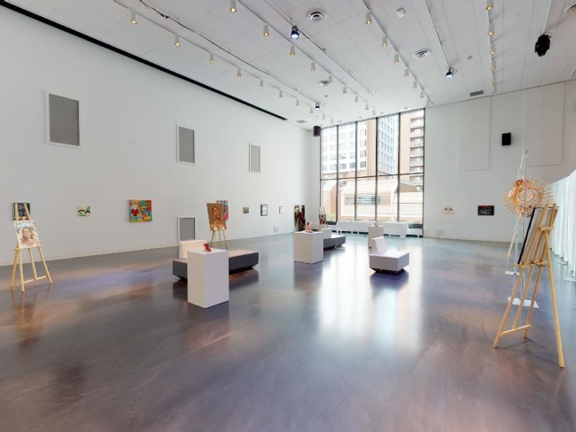
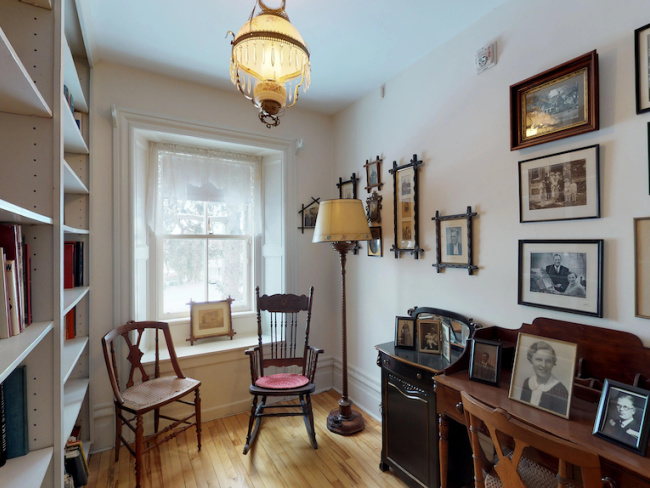
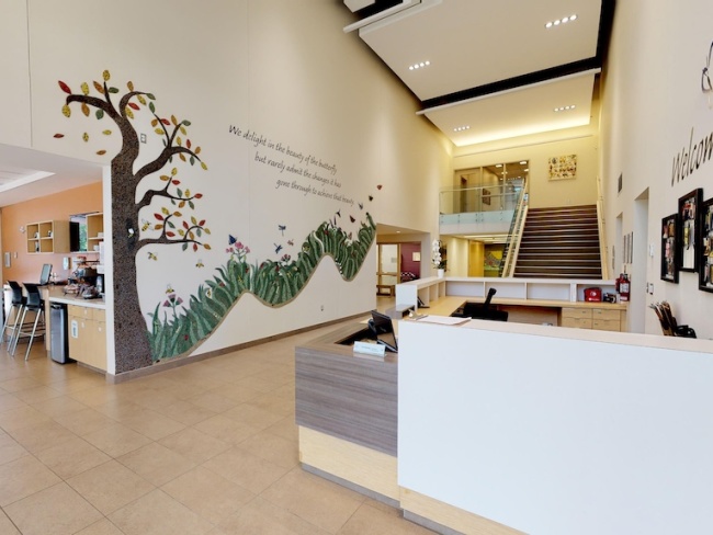
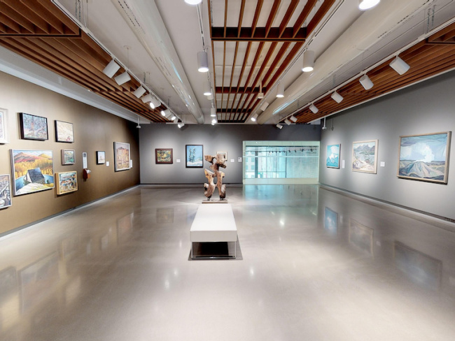
Staged 3D virtual tours and photography of public spaces makes planning and marketing of educational exhibits or historic preservation space more immersive and interactive.
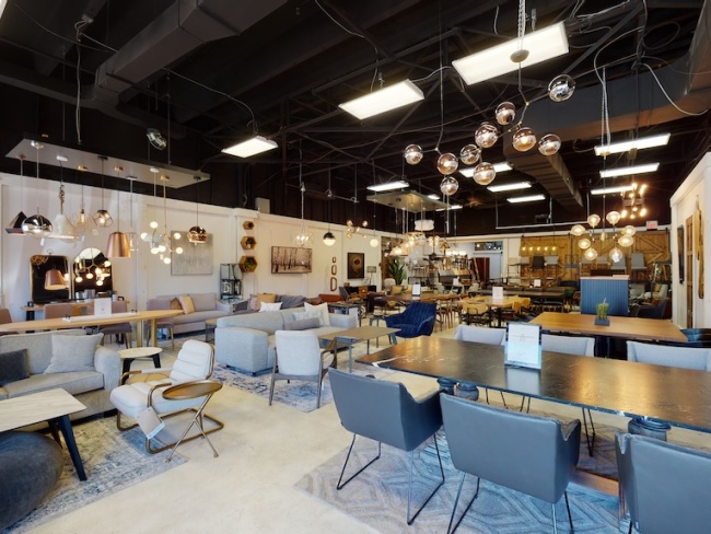
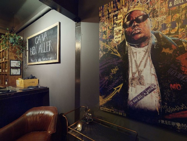
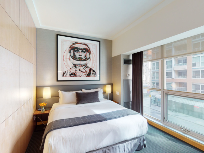
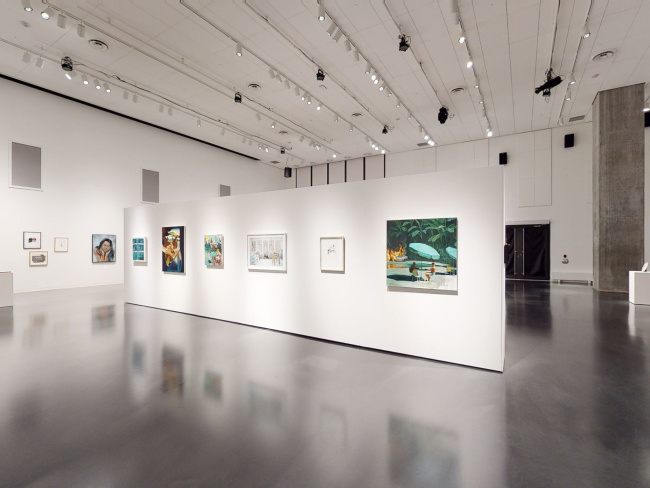
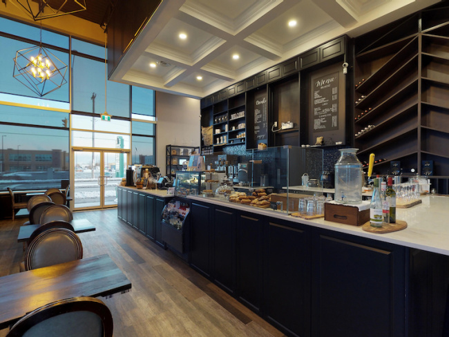
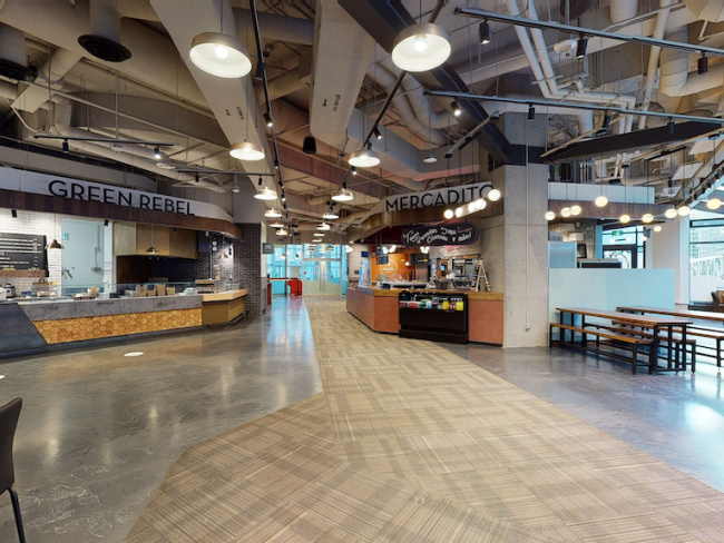
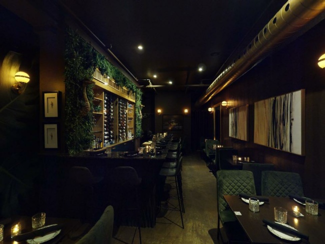
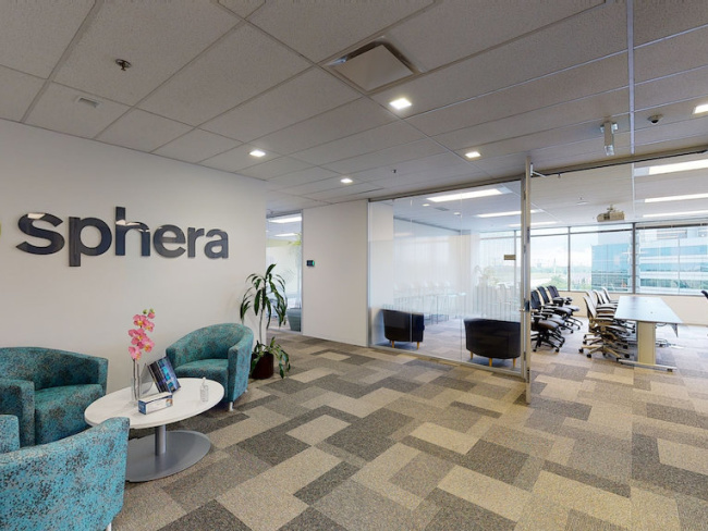
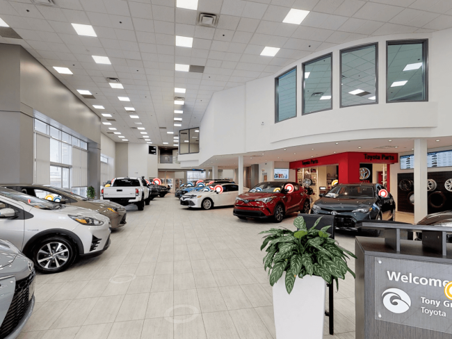
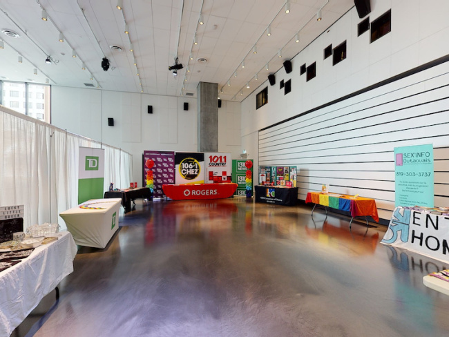
Engaging 3D virtual tours, stunning photography, and Google Street View tours attract more in-person visitors, improves audience reach, and increases interested bookings.
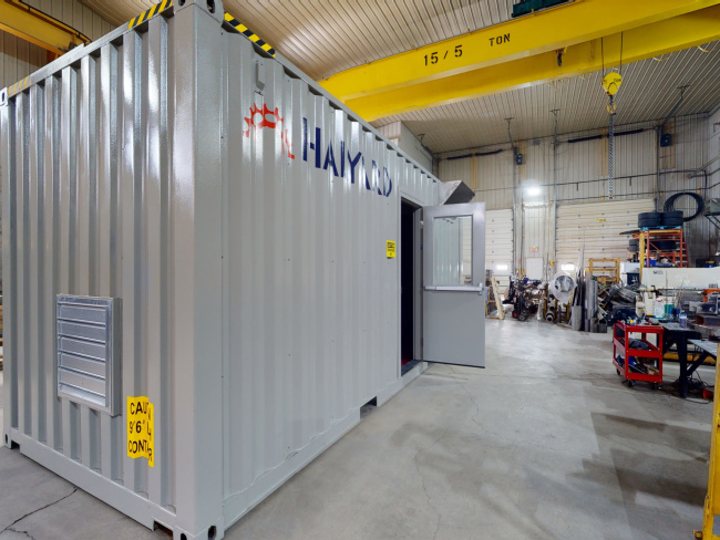
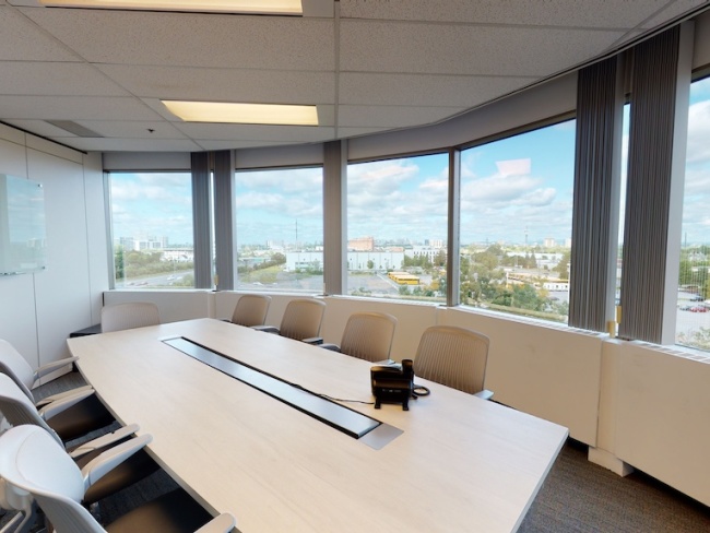
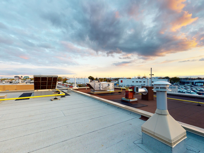
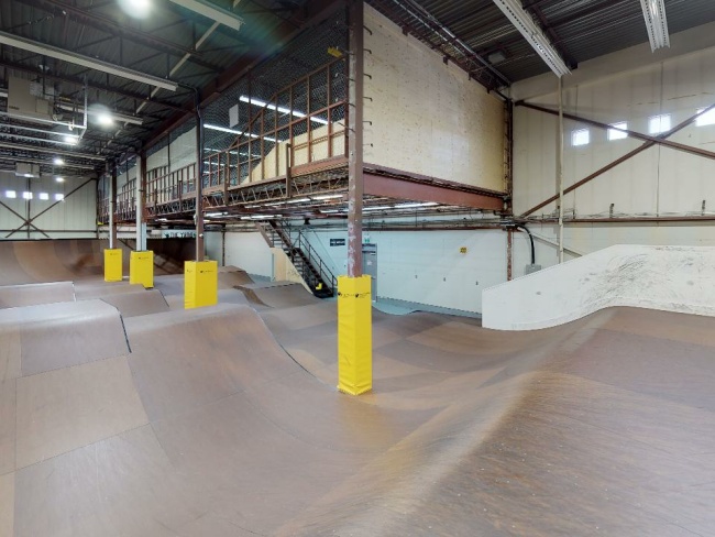
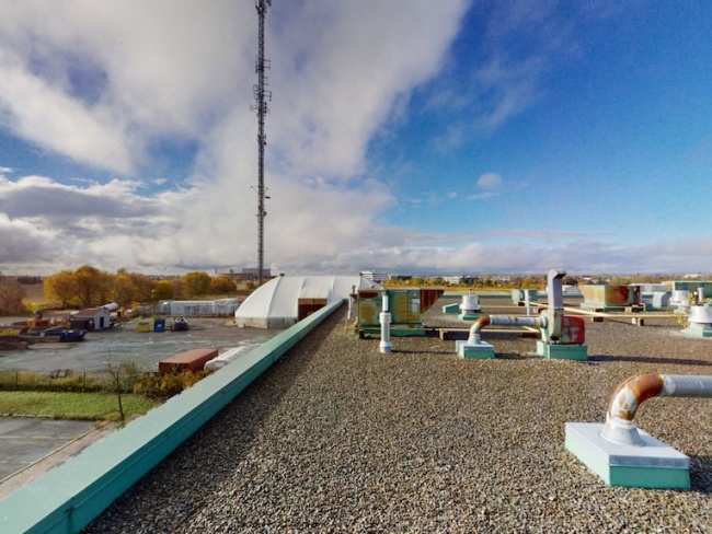
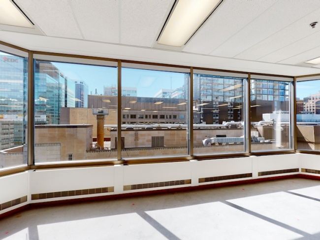
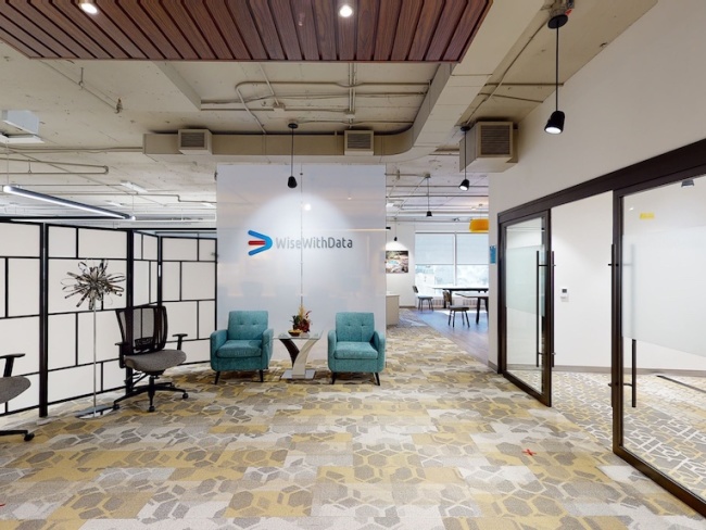
Have an accurate digital twin of all facility locations. As a record of the existing conditions at the time, nothing is missed and can always be referenced in immersive 3D. The 3D Tours help way-finding and onboarding new hires and contractors remotely.
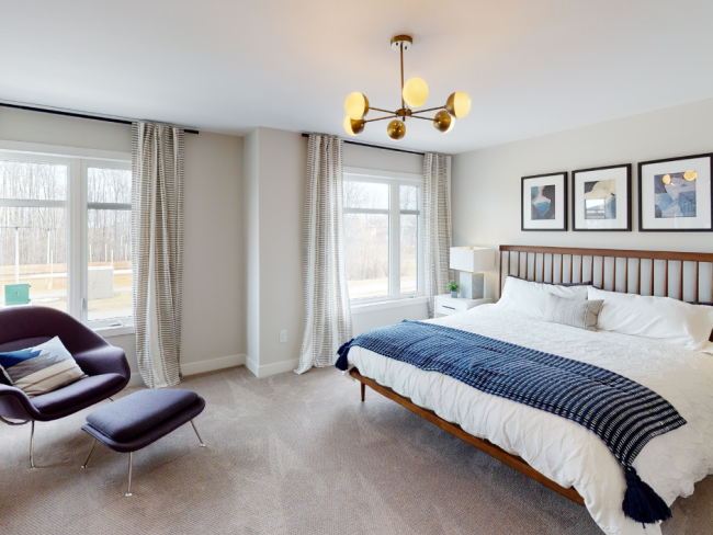
';
var openInfo = null;
var metros = window.p3dCoverageMetros || [];
var markers = [];
metros.forEach(function (m) {
var marker = new google.maps.Marker({ position: { lat: m.lat, lng: m.lng }, map: map, title: m.name, icon: icon, optimized: false });
var info = new google.maps.InfoWindow({ content: buildLocalInfo(m.name), maxWidth: 340 });
marker.addListener('click', function () {
if (openInfo) { openInfo.close(); }
info.open({ anchor: marker, map: map });
openInfo = info;
});
markers.push({ marker: marker, info: info });
});
function metroSlug(s) { return s.toLowerCase().replace(/\./g, '').replace(/'/g, '').replace(/\s+/g, '-'); }
// Wire any [data-metro-slug] links on the page (e.g. the Service Areas grid in
// the offices red column) to scroll to the map and open the matching popup.
function wireMetroLinks() {
var links = document.querySelectorAll('a[data-metro-slug]');
links.forEach(function (link) {
if (link.dataset.p3dWired === '1') return;
link.dataset.p3dWired = '1';
link.addEventListener('click', function (e) {
var slug = link.getAttribute('data-metro-slug');
var idx = metros.findIndex(function (m) { return metroSlug(m.name) === slug; });
if (idx < 0) return;
e.preventDefault();
var entry = markers[idx], m = metros[idx];
mapEl.scrollIntoView({ behavior: 'smooth', block: 'center' });
setTimeout(function () {
map.panTo({ lat: m.lat, lng: m.lng });
if (openInfo) { openInfo.close(); }
var localInfo = new google.maps.InfoWindow({ content: buildLocalInfo(m.name), maxWidth: 340 });
localInfo.open({ anchor: entry.marker, map: map });
openInfo = localInfo;
}, 450);
});
});
}
function haversineKm(lat1, lng1, lat2, lng2) {
var R = 6371, toRad = Math.PI / 180;
var dLat = (lat2 - lat1) * toRad, dLng = (lng2 - lng1) * toRad;
var a = Math.sin(dLat/2)*Math.sin(dLat/2) + Math.cos(lat1*toRad)*Math.cos(lat2*toRad)*Math.sin(dLng/2)*Math.sin(dLng/2);
return 2 * R * Math.atan2(Math.sqrt(a), Math.sqrt(1-a));
}
function buildLocalInfo(metroName) {
var d = document.createElement('div');
d.className = 'p3d-info';
var h = document.createElement('h3');
h.className = 'p3d-info-title';
h.textContent = 'Local service in ' + metroName;
var p = document.createElement('p');
p.className = 'p3d-info-body';
p.textContent = 'We serve the ' + metroName + ' area with 3D laser scanning, virtual tours, real estate media, and as-built drawings & BIM. Contact us today for process, pricing, and availability.';
var a = document.createElement('a');
a.href = 'tel:+16136272242';
a.className = 'p3d-info-cta';
a.textContent = 'Call Today';
d.appendChild(h);
d.appendChild(p);
d.appendChild(a);
return d;
}
function geoDetectAndCenter() {
if (!metros.length) return;
fetch('https://ipapi.co/json/', { cache: 'force-cache' })
.then(function (r) { return r.ok ? r.json() : null; })
.then(function (loc) {
if (!loc || loc.country_code !== 'CA') return;
var lat = loc.latitude, lng = loc.longitude;
if (typeof lat !== 'number' || typeof lng !== 'number') return;
var nearestIdx = -1, minKm = Infinity;
metros.forEach(function (m, i) {
var d = haversineKm(lat, lng, m.lat, m.lng);
if (d < minKm) { minKm = d; nearestIdx = i; }
});
if (minKm > 150 || nearestIdx < 0) return;
var m = metros[nearestIdx], entry = markers[nearestIdx];
map.panTo({ lat: m.lat, lng: m.lng });
map.setZoom(7);
if (openInfo) { openInfo.close(); }
var localInfo = new google.maps.InfoWindow({ content: buildLocalInfo(m.name), maxWidth: 340 });
localInfo.open({ anchor: entry.marker, map: map });
openInfo = localInfo;
})
.catch(function () { /* silent fallback */ });
}
geoDetectAndCenter();
wireMetroLinks();
};
(function () {
if (window.google && window.google.maps) { window.p3dInitCoverageMap(); return; }
if (document.querySelector('script[data-p3d-gmaps]')) { return; }
var s = document.createElement('script');
s.src = 'https://maps.googleapis.com/maps/api/js?key=AIzaSyCaRqDL5hhXZ7OCVIwJY1ctVbQOh_tXLnk&callback=p3dInitCoverageMap&loading=async';
s.async = true; s.defer = true; s.setAttribute('data-p3d-gmaps', '1');
document.head.appendChild(s);
})();
Reality Capture Services Across Canada
Point3D Commercial Imaging delivers 3D laser scanning, Matterport virtual tours, real estate photography, aerial imagery, and as-built drawings & BIM. We serve architecture, engineering, and construction firms, real estate brokerages, and commercial businesses across Canada.