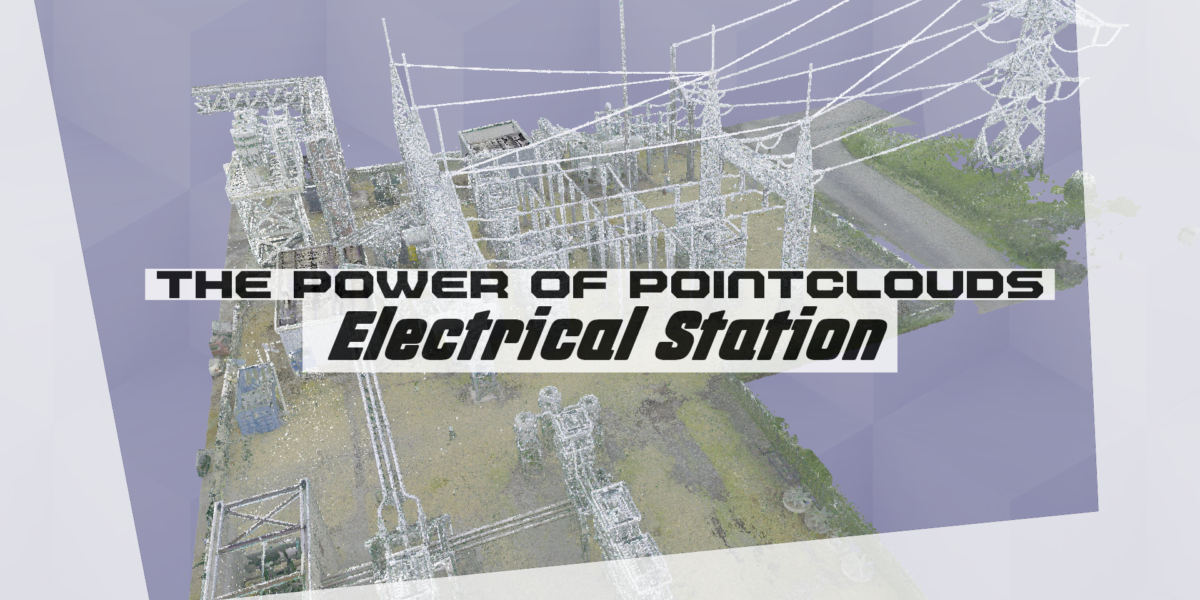
The Power of Pointclouds: Electric Substation

Critical infrastructure such as power plants and distribution stations can be complex and potentially hazardous. Many facility management and design professionals seek tools that allow for remote viewing and measurement to prioritize safety and efficiency. 3D laser scanning technology is a powerful reality capture solution that produces point cloud files providing millimeter-accurate representations of as-found conditions at electrical infrastructure sites. These files enable all project stakeholders to virtually walk and measure scanned areas from their offices, reducing the need for on-site personnel and expediting project designs and as-builts. Additionally, these point cloud files can be easily integrated into existing Revit or AutoCAD as-built documentation workflows.
Safety And Efficiency Advancements
Facility managers and engineers are responsible for inspecting and maintaining critical infrastructure and buildings over time. This process often involves multiple site visits by multiple disciplines and may require further investigation once deficiencies are identified. Point cloud technology offers a more efficient and safer alternative, enabling non-contact measurement through a single site visit to capture 360-degree photos and accurate spatial data. This data can be used to create virtual tours of an electrical substation, support facility condition assessments, and inform detailed repair and maintenance plans, reducing the need for on-site personnel and minimizing the risk of injury.
The Right 3D Laser Scanner For The Job
There are various types of 3D laser scanners available on the market, each with different distance, speed, and accuracy capabilities. At Point3D, we use the Leica Geosystems line of 3D laser scanners and carefully select the most appropriate device for each project based on its complexity, size, and accuracy requirements. This allows us to deliver accurate and reliable point cloud data to our clients.
How To Use Pointcloud 3D Data
Point cloud files can be seamlessly integrated into Autodesk Revit and AutoCAD as-built workflows, enabling the creation of various types of floor plans, including as-built models, MEPF clash reports, and floor flatness/levelness reports. If you don’t have an internal team to develop your scan-to-BIM deliverables, we can design as-found models at the level of detail required.

Pointcloud File Formats
Point cloud files come in a range of formats, including both open-source and proprietary options. The appropriate format depends on the downstream workflow and point cloud software being used in visualization or as-built modeling. At Point3D, we can help you determine the right point cloud specifications to meet your needs.
Terrestrial Laser Scanning (TLS) is a common method for producing point cloud data, which can be stored in a variety of file formats. These formats are designed to hold 3D point cloud data, as well as other 3D data such as images and meshes. They support a wide range of binary data types, including coordinates, intensity, color, and reflectance. To ensure optimal usability, point cloud processing is often performed to reduce file size.
.RCP
The most requested point cloud delivery format. Natively integrates with all Autodesk products including Revit and AutoCAD.
.PTX
A .PTX file is a text file used to store point data collected with terrestrial laser scanners.
.E57
The most compatible structured point cloud format type. Opens in most pointcloud viewing programs.
.XYZ
Another ASCII pointcloud file generated by our Matterport systems.
.LGS
Leica Truview is the only program to open .LGS point cloud files and is our preferred pointcloud viewing program.
.LAS
Large-scale aerial LiDAR is used to create these data sets.
Point cloud files offer a convenient way to share accurate site measurements and 360-degree images within an organization, improving collaboration, project management, and digital twin initiatives. Laser scanning for point clouds is a cost-effective and time-saving solution for electrical engineers, electricity providers, and substation operators who prioritize efficiency and innovation.
We are 3D Laser Scanning and Point Cloud Experts
With experience scanning hundreds of electrical stations, distribution substations, and network buildings across Ontario, including Toronto and Ottawa, Point3D is the point cloud specialist you are looking for. Whether it’s for accurate as-found conditions facilities or for managing projects remotely, our clients in this space are saving time and money with Point Cloud services. Contact Point3D to learn more about 3D laser scanning and scan-to-BIM services for electrical infrastructure in Canada.